Barrow Hill Heritage Trail
Type:Town Trail
Barrow Hill
Chesterfield
Derbyshire
S43 2PN
About
Barrow Hill is named after Richard Barrow who gained control of all the mines and beds of coal an ironstone in Staveley. He expanded the business and built the foundations of what would become the Staveley Coal and Iron Company.
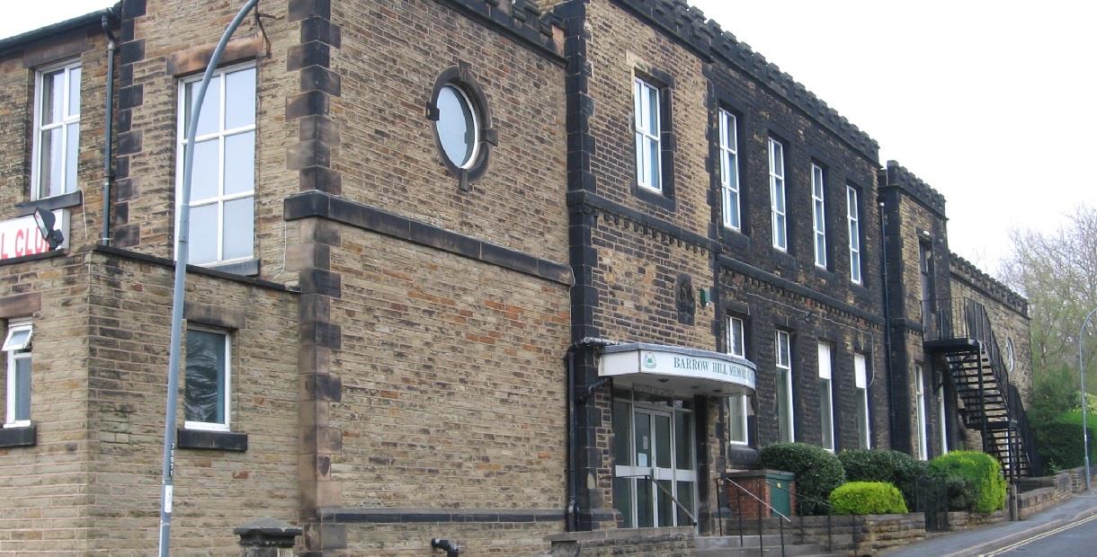
Barrow began building the first cottages for his workers in 1853, while the managers had small villas built in 1863. Five grand villas for were built on the hillside for managers and the Company doctor. Barrow also built the Church of England Mission Church and the school.
This trail takes you around Barrow Hill, discovering all the points of interest along the way.
Scroll down the page to download a pdf of the route.
TripAdvisor
Map & Directions
Road Directions
From North/South Leave M1 at junction 30 and take A616. At roundabout select right lane and take 4th exit (A619 signposted Chesterfield). At roundabout on entering Staveley (just under 3 miles) take 2nd exit (B6053) and bear eft into Hall Lane. Follow road for approx 300 yards and, at roundabout, take 1st exit (Hall Lane). Follow road for just under a mile and turn left (Station Road). Follow road through Barrow Hill and take next right after The Barrow Pub (Campbell Drive).
From East Follow A617 to M1 motorway junction and take 4th exit at roundabout (M1 North). Leave M1 at junction 30, then follow route from North/South.
From West Follow A619 to Chesterfield. At traffic light controlled roundabout (Matalan) select middle lane and take 3rd exit. Keep in left lane and, at traffic lights, go straight on. Select right hand lane and, at roundabout, take 3rd exit. At next roundabout select left lane and take 2nd exit (A617). Follow A617 for approx 4 miles to M1 motorway roundabout and take 1st exit (M1 North). Leave M1 at junction 30, then follow route from North/South.
Public Transport Directions
Chesterfield train station, 4 miles away
Bus number 90 from Chesterfield town centre
.png)


