Chesterfield Round Walk
Type:Walking Route
Unstone
Dronfield
Derbyshire
S18 4AN
About
The Chesterfield Round Walk is a 34 mile circular walk exploring the varied countryside just beyond the suburban fringes of Chesterfield. The town, pinpointed by its famous ‘Crooked Spire’, can often be visible from the higher ground to the west and east. As a circular route, there are many places to start the Walk. We’ve chosen to start at Unstone but click on the website link to download a booklet describing the full Round.
The countryside surrounding Chesterfield couldn’t have been more different. To the west, out towards the Peak District, you can find green hills and narrow wooded valleys carved by streams running down from the moors.
To the east, the land was once dotted with coal mines with their colliery wheels, tips and grime. Today, the collieries have closed and the land converted into country parks. The railways that once served the mines are now walking and cycling trails and all traces of the coal mines have been erased. Today you walk through pretty countryside surrounded by wildlife.
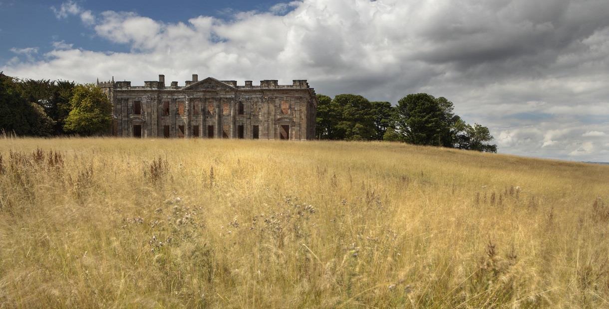
The Walk can be tackled in a day and this walk is always be available in the Chesterfield Area Walking Festival in May. You can, however, take it at a more leisurely pace by splitting it into three or six sections, depending how far you like to walk. You can take time out to explore Sutton Scarsdale Hall, visit Bolsover Castle, find out more about the railways at Barrow Hill Roundhouse, or take a break in a village pub.
The walk is described in a clockwise direction but is comprehensively waymarked by the Crooked Spire in both directions, and you’ll find information boards at viewpoints along the way.
Tackle the Walk with suitable footwear as parts of the route are muddy during most of the year.
Facilities
Routes
- Length of route (miles) - 34 miles
- Typical duration of route - Can be done in 12 hours or in shorter sections that take less time
TripAdvisor
Map & Directions
Road Directions
Parking is available at the Fred Hopkins Memorial Hall off Crow Lane
From North/South Leave M1 motorway at junction 29 and take A617 to Chesterfield (approx 4 miles). At traffic light controlled roundabout, select right lane and take 4th exit (A61 signposted Sheffield). At next roundabout (Tesco), select middle lane and take 2nd exit (A61). At next roundabout, select middle lane and take 3rd exit (A61). Leave by first slip road and, at end of road, turn right (B6057 signposted Dronfield). Follow road for approx 1½ miles and turn right immediately after Unstone School (Crow Lane). Turn left to Hall approx 150 yards down road.
From East Follow A617 to junction with M1 motorway then follow route from North/South.
From West Follow A619 to Chesterfield. At traffic light controlled roundabout (Matalan) select middle lane and take 3rd exit. Keep in left lane and at traffic lights go straight on. At roundabout select middle lane and take 2nd exit. Turn immediately left into slip road to A61 (signposted Sheffield). At next roundabout (Tesco), select middle lane and take 2nd exit (A61), then follow route from North/South.
Public Transport Directions
Nearest train station Dronfield, 1½ miles away
Bus number 43 or 44 from Chesterfield town centre
.png)


