Cuckoo Way
Type:Walking Route
Corporation Street
Chesterfield
Derbyshire
S40 7UB
About
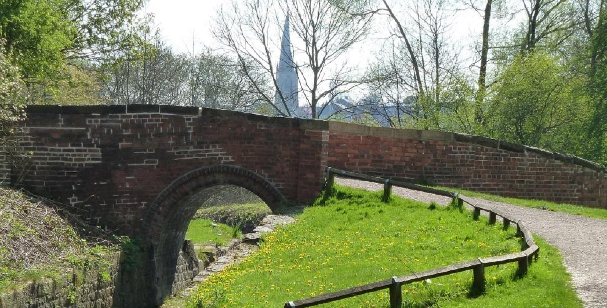
The Cuckoo Way is the Chesterfield Canal Towpath and the full route runs for 46 miles from Chesterfield to West Stockwith and the River Trent. It is signposted throughout and is easy to follow, although some care is needed along the presently unrestored section of the Canal between Staveley and Killamarsh, and over the top of the Norwood Tunnel. For a leafelt on the full route, scroll down the page to download a copy..
The Canal was surveyed by James Brindley and opened in 1777. It was at the forefront of canal design in its day with a multiple staircase lock flight and the longest tunnel in the country at Norwood. The arrival of the railways gradually replaced the canals and Chesterfield Canal closed in 1908 when the Norwood Tunnel collapsed.
The section of the Canal from Kiveton Park to West Stockwith remained navigable along its 32 miles, but the Chesterfield to Norwood section slowly disappeared – but was never forgotten and the Chesterfield Canal Trust started the massive task of restoring the Canal in 1989.
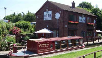
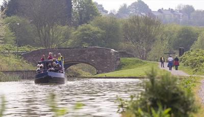
Today, 12 miles of the Canal have been restored, including 37 locks, 11 bridges and the Staveley Canal Basin. The Canal is widely recognised as one of the most beautiful and varied waterways in England. The Cuckoo Way takes you through tranquil countryside where scarcely a house can be seen, has some of the best canal fishing in the country, features an underground canal at Hollingwood and encompasses what will be a £310 million waterside development in Chesterfield.
If you don’t want to tackle the full 46 miles, there are a range of shorter walks along the Canal.
Facilities
Accessibility
- Disabled access - Many areas of the route are accessible to wheelchair users, particularly the section from Tapton Lock
Catering
- On-site light refreshments
Children
- Children welcome
Parking
- Parking with charge
Property Facilities
- Dogs Accepted - Please keep dogs on a lead
- Public toilets
Routes
- Accessibility of route - Many areas of the route are accessible to wheelchair users, particularly the section from Tapton Lock
- Length of route (miles) - 46 miles
- Linear Route
TripAdvisor
Map & Directions
Road Directions
There is private parking at the Railway Station and the directions below are to the Station. Parking is available a short walk away on Durrant Road or at St Mary’s Gate.
From North/South Leave M1 at junction 29 and follow A617 to Chesterfield (approx 4 miles). At traffic light controlled roundabout select left lane and take 3rd exit. At next roundabout select right lane and take 2nd exit (Lordsmill Street). Keep in right lane and, at traffic lights go straight on. Follow road round Crooked Spire Church and, at traffic lights select right lane and go straight on. At next traffic lights select right lane follow signs to Sheffield Road and Station round roundabout. Exit down Brewery Street and follow road to roundabout. Go straight on to railway station. (For Durrant Road car park, take first right turn on Brewery Street.)
From East Follow A617 to junction with M1 motorway, then follow route from North/South.
From West Follow A619 to Chesterfield. At traffic light controlled roundabout (Matalan) select middle lane and take 2nd exit turning left into Rutland Road. Select right hand lane at traffic lights at top of hill and turn right. Follow road to roundabout with car park in middle. Select right hand lane and take 3rd exit down Brewery Street (signposted for Station). Follow road to roundabout and go straight on to railway station.
.png)


