Five Pits Trail
Type:Walking Route
Grassmoor
Chesterfield
Derbyshire
S42 5BW
About
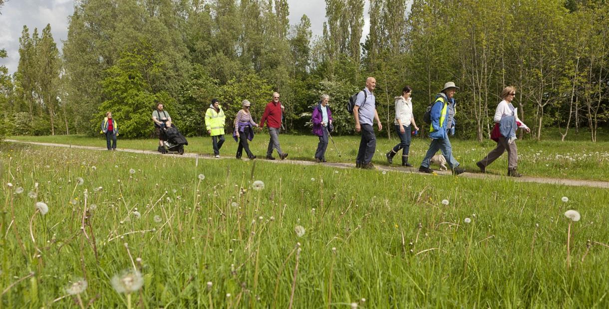
The Five Pits Trail is an off-road route that’s great for walkers, pram pushers, cyclists and horse riders. It is a 5½ mile off-road linear route from Grassmoor Country Park to Tibshelf Ponds, passing through a mainly agricultural and woodland landscape. The Trail can be extended to 7½ miles by exploring the route through Williamthorpe Ponds local nature reserve and Holmewood Woodlands.
Following closure of the large collieries and other smaller pits along the Great Central Railway, the landscape has changed drastically. Most of the original railway lines were removed and parts of the land were opencast. Today, the Five Pits Trail follows the approximate route of the original railway through pretty countryside where the marks of its coal mining past have vanished.
These landscape changes have resulted in the Trail being undulating throughout with a number of long steep slopes. Look out for the large site maps which show a slope symbol to mark the steeper climbs, as well as information on the Trail’s heritage and some of the wildlife you might see along the way.
Trail entrances are accessible for people with limited mobility but surface conditions and the steep undulating terrain may restrict some people's access to some sections.
If you’re exploring on two wheels, test yourself on the adventurous cycle route alongside the trail through the Williamthorpe local nature reserve. It’s a similar standard to a blue grade mountain bike trail and is suitable for anyone with basic off-road riding skills. It will add a little fun and adventure to your ride.
Facilities
Accessibility
- Disabled access - Some parts of the route are wheelchair friendly
Catering
- Picnic site
Children
- Children welcome
Parking
- Free Parking
Property Facilities
- Dogs Accepted
Routes
- Accessibility of route - Limited - some steep slopes
- Length of route (miles) - 5½ to 7½
TripAdvisor
Map & Directions
Road Directions
From North/South Leave M1 motorway at junction 29 and take A6175 towards Clay Cross. At 1st roundabout take 2nd exit (A6175). At next roundabout take 2nd exit (A6175). Continue on this road for approx 1½ miles to North Wingfield and turn right onto North Wingfield Green. Follow road past the Green and road becomes Chesterfield Road. Pass primary school and Deincourt School on left. Continue to Grassmoor and turn right opposite petrol station (Birkin Lane). Follow road to car park on left.
From East Follow A617 to M1 motorway roundabout. Take 2nd exit A6175 towards Clay Cross, then follow route from North/South.
From West Follow A619 to Chesterfield. At traffic light controlled roundabout (Matalan) select middle lane and take 3rd exit. Keep in left lane and, at traffic lights, go straight on. At roundabout select right hand lane and take 3rd exit. At next roundabout select left lane and take 2nd exit (A617) Keep in left lane and leave by 1st exit. At end of sliproad turn right and follow road over A617. Continue to follow road to Hasland and turn right at mini roundabout opposite gates to Eastwood Park (B6038, The Green). Follow road for approx 2 miles and turn left into Birkin Lane. Follow road to car park on left.
Public Transport Directions
Chesterfield train station 6 miles away
Bus number 54 from Chesterfield town centre
.png)


