Hidden Villages Driving Route
Type:Car Trail
Chesterfield
Derbyshire
S40 1XJ
About
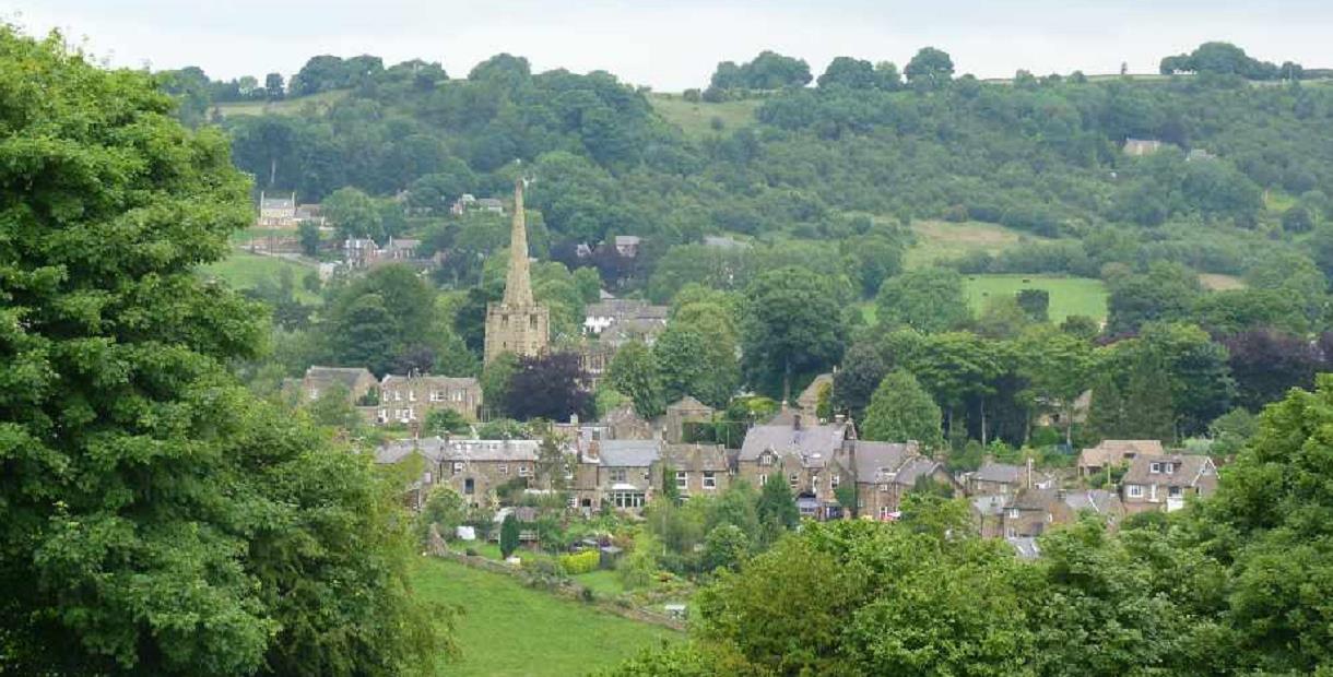
A pleasant circular route south of Chesterfield, starting out on the A619 Chatsworth Road and visiting some pretty Derbyshire villages.
See where the Roundheads and the Royalists had a punch up. Imagine long lost soldiers returning from Agincourt. See where Florence Nightingales family are buried. And see where George Stephenson developed even more railways.
The route is 15 miles long and takes in some beautiful countryside. You'll climb out of Chesterfield and drop down into river valleys. You'll pass by Ogston Reservoir, a great place for bird watching, and return to Chesterfield along the route of the Roman road Ryknield Street.
Scroll down the page to download a pdf of the route.
Facilities
Routes
- Length of route (miles) - 15 miles
Opening Times
| Season (1 Jan 2025 - 31 Dec 2025) |
|---|
TripAdvisor
Map & Directions
Road Directions
A map is included on the pdf which you can download by scrolling further down this page.
This is an outline of the route From Chesterfield and its distractive landmark, the Crooked Spire Church, take the A619 west and join the A632. Follow quiet country roads to Ashover, then take the B6036 to Stretton and continue on to Milltown. Take the B6014, turning right to Brackenfield. Pass Ogston Reservoir and continue on the B6014, passing through Handley to Clay Cross where you pick up the A61 back to Chesterfield.
.png)


