Hustle and Bustle to Birds and Bluebells
Type:Walking Route
Chesterfield
Derbyshire
S40 1SB
About
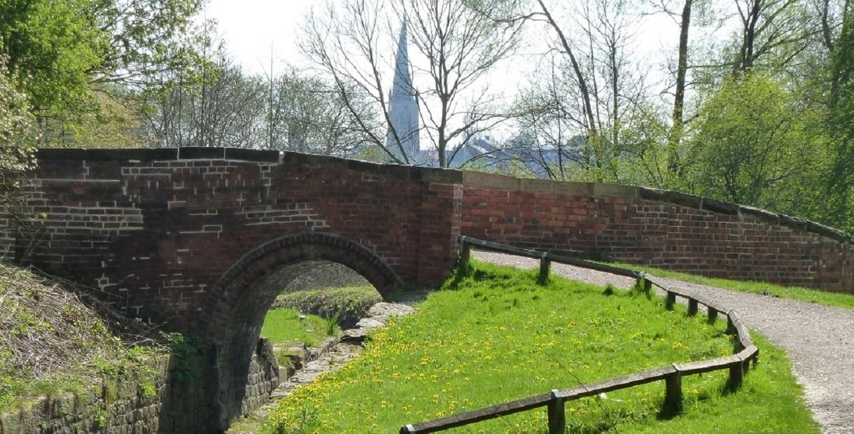
A wonderful wildlife walk along the restored Chesterfield Canal where you go from the noise and bustle of industry to a haven of peace and tranquillity.
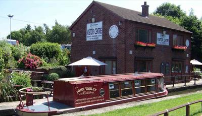
See the Visitor Centre at Tapton Lock, walk on wonderful towpath mosaics and enjoy canal art by local children! Count how many different birds you can see along the walk as you walk through a ‘carpet’ of bluebells in spring.
Leave the Rykneld Square in Chesterfield, taking the path to the left of the front entrance to the ‘Crooked Spire’ Church then turn right, pass the war memorial and cross St Mary’s Gate on the zebra crossing. Pass the museum and theatre and cross the footbridge over the A61. Cross the road and continue towards the station. Follow the road past the station and take the first left turn across the river and left again following the river and the blue signpost to the Cuckoo Way. Cross Brimington Road with care and head down Holbeck Close.
The 46 mile long Chesterfield Canal was one of the earliest canals, planned in 1769 by James Brindley, the great engineer, to link Chesterfield with the Trent and thus the North Sea. It was finished in 1777 but he did not live to see it. Its most famous cargo was stone to rebuild the Houses of Parliament in 1841-44 but even then the new railways were competing with canals and would, ultimately, win. The Chesterfield section of the canal closed in 1908 following the collapse of the Norwood Tunnel. In 1976 the Chesterfield Canal Society began work on restoring the 20 miles of canal up to the Norwood Tunnel. This work is still continuing today.
This is a circular walk with a grading of ‘easy’ and is 6 miles long. Scroll down the page to open a map of the route.
Facilities
Accessibility
- Disabled access
Catering
- On-site light refreshments
- Picnic site
Children
- Children welcome
Parking
- Parking with charge
Property Facilities
- Dogs Accepted - Please keep dogs on a lead
- Gift shop
- Public toilets
Routes
- Accessibility of route - Most of this route is accessible but ask at the Visitor Information Centre for an accessible route to the train station
- Length of route (miles) - 6 miles
- Typical duration of route - Approximately 4 hours
TripAdvisor
Map & Directions
Road Directions
The Visitor Information Centre is a black building next to the 'Crooked Spire' Church and is close to several car parks. These directions are to the nearest car parks.
From North/South Leave M1 at junction 29 and follow A617 to Chesterfield (approx 4 miles). At traffic light controlled roundabout select middle lane and take 3rd exit. At next roundabout select middle lane and take 2nd exit (Lordsmill Street). Select left hand lane and take first left (Beetwell Street). Multi-storey car park on right. For surface car parks select right lane at 2nd roundabout and take 2nd exit (Lordsmill Street). Keep in right lane and at traffic lights turn right (Spa Lane). Take first left then left again into St Mary’s Gate car park.
From East Follow A617 to junction with M1 motorway, then follow route from North/South.
From West Follow A619 to Chesterfield. At traffic light controlled roundabout (Matalan) select middle lane and take 3rd exit. Keep in left lane and, at traffic lights, go straight on. At next roundabout follow route from North/South for either mult-storey or surface car park.
Public Transport Directions
Nearest train station Chesterfield, 5 minute walk away
Any bus to Chesterfield town centre
.png)


