River Rother Walk
Type:Walking Route
7 Stanley Street
Killamarsh
Sheffield
South Yorkshire
S21 1FY

About
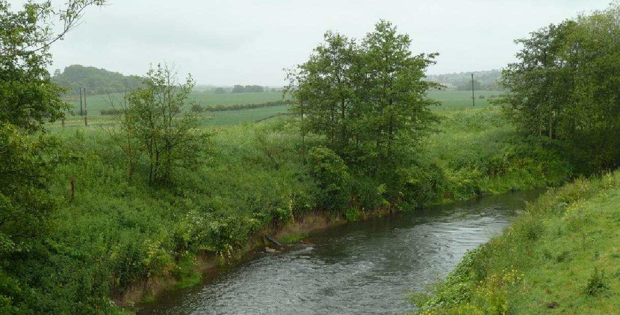
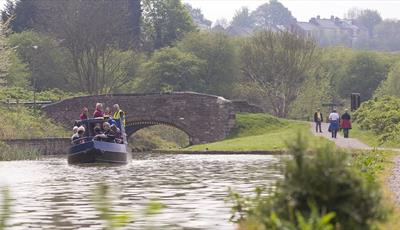
The River Rother is 27 miles long from its source near Clay Cross to where it meets the River Don in Rotherham. Chesterfield stands at the confluence of the River Hipper and the River Rother, and the Rother is navigable in the town. It’s the main source of water for the Chesterfield Canal and boat trips from Tapton Lock run along the Canal to the Rother, or in the opposite direction to Staveley Town Basin.
The River suffered from local industries in the 1970s but is now a haven for wildlife, including kingfishers and water voles.
This walk follows a section of the Rother that flows near the village of Killamarsh close to the Derbyshire-South Yorkshire boundary. The walk is 4 miles long and also follows part of the Westthorpe Loop. The walks can be combined to give a longer 8½ mile walk, or walkers can follow each one separately.
The River Rother Walk is waymarked with green arrows and the Westthopre Loop by orange arrows. The routes are often muddy and there are some steep slopes so wear good walking shoes and remember to carry a bottle of water!
Scroll down the page for a map of the route.
Facilities
Children
- Children welcome
Parking
- Free Parking
Property Facilities
- Dogs Accepted - Dog friendly walk but please keep dogs on a lead
- Public toilets
Routes
- Length of route (miles) - 4 miles which can be extended to 8½ miles
- Typical duration of route - Allow 2½ hours for the 4 mile walk or 5 hours for the 8½ mile walk
TripAdvisor
Map & Directions
Road Directions
From North/South Leave M1 motorway at junction 30 and take A616 towards Barlborough. At roundabout take 2nd exit (A619), at next roundabout (De Rodes Arms) take 2nd exit (A619 signposted Worksop). Follow A619 for approx 1 mile and, at crossroads turn right (A618). Follow A618 for approx 3½ miles to Killamarsh and, at mini roundabout, take first exit (B6058, Sheffield Road). Follow road for approx ½ mile and turn right into Stanley Street. Shopping Centre is on left.
From East Follow A616 through Creswell and into Barlborough. Continue on A616 at next 3 roundabouts and, at next roundabout (junction with A619) take 3rd exit (A619, signposted Worksop). At next roundabout (De Rodes Arms) take 2nd exit (A619 signposted Worksop), then follow route from North/South.
From West Follow A619 to Chesterfield. At traffic light controlled roundabout (Matalan) select middle lane and take 3rd exit. Keep in left lane and, at traffic lights, go straight on. When carriageway divides, select right hand lane and, at roundabout, take 3rd exit. At next roundabout (traffic light controlled) select middle lane and go straight on (A617). Follow road to motorway junction (approx 4 miles) and, at roundabout, take 1st exit (M1 north). Leave M1 at junction 30 and follow route from North/South.
Public Transport Directions
Nearest train station Chesterfield, 10 miles away
Bus number 70 or 72 from Chesterfield town centre, one per hour each
.png)


