South Chesterfield Way
Type:Walking Route
Rose Hill
Chesterfield
Derbyshire
S40 1LP
About
The South Chesterfield Way is an 11-mile waymarked linear walk between Chesterfield and Clay Cross.
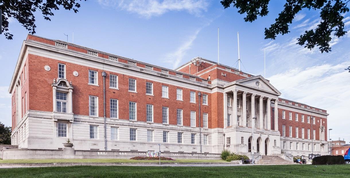
The walk starts from Chesterfield Town Hall but can begin in Queen’s Park if preferred. The finish point is in Kenning Park at Clay Cross and the bus station nearby.
There is a regular but service from Clay Cross back to Chesterfield on the number 51 bus.
Please be aware that the route has several moderate climbs, no shelter or refreshments along the way and a limited number of escape routes. The walk can be broken at Wingerworth if you would like to do it in two sections.
Download a leaflet from the website address (click the website button at the top of the page) or scroll down the page to download the leaflet directly.
Facilities
Parking
- Parking with charge - Nearest car park - Rose Hill
Routes
- Accessibility of route - Moderate (for people with country walking experience and a good level of fitness)
- Description of route - Linear walk
- Length of route (miles) - 11
- Typical duration of route - approximately 5½ hours
TripAdvisor
Map & Directions
Road Directions
There is a car park behind Chesterfield Town Hall, which has a pay station and the directions below are for this car park.
From North/South Leave M1 at junction 29 and follow A617 to Chesterfield (approx 4 miles). At traffic light controlled roundabout select left lane and take 3rd exit. At next roundabout select middle lane and take 2nd exit (Lordsmill Street).. Keep in right lane and, at traffic lights go straight on. Follow road round Crooked Spire Church and, at traffic lights select right lane and go straight on. At next traffic lights select left lane and go straight on. Follow road through traffic lights and take first left turn 100 yards past Barley Mow Pub (Rose Hill East). Turn right into Rose Hill car park behind Town Hall.
From East Follow A617 to junction with M1 motorway, then follow route from North/South.
From West Follow A619 to Chesterfield. At traffic light controlled roundabout (Matalan) select middle lane and take 2nd exit turning left into Rutland Road. Select right hand lane and, at traffic lights at top of hill, turn right. Take 3rd right turning (Rose Hill East). Turn right into Rose Hill car park behind Town Hall.
Public Transport Directions
Nearest train station Chesterfield, 15 minute walk away
Any bus to Chesterfield town centre
.png)


