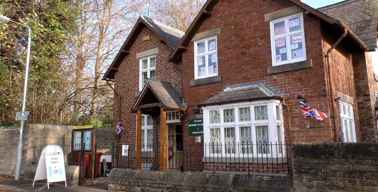
The Monnies Heritage Trail
Type:Walking Route
Ward Lane
Barlborough
Chesterfield
Derbyshire
S43 4JD
About
The Monnies Heritage Walk links the two historic villages of Barlborough and Clowne in the District of Bolsover and County of Derbyshire.
This 3 mile walk begins in the village of Barlborough, formerly known as ‘Barleburg’ and documented in the Domesday Book of 1086. To find out more about the history of this village visit Barlborough Heritage Centre on Ward Lane which houses a vast collection of photographs, documents and objects.
The parish of Clowne also named Clune takes its name from the many springs in the parish.
Lying east of the village is Hollin Hill and Markland Grips that form part of the Limestone escarpment. During the Roman period this area was occupied as a fort.
In 2020 a new walking and cycling trail was opened, the Clowne Greenway, which follows the old Clowne Branchline Railway from Creswell to Staveley linking up to the Transpennine Trail.
In 1586 the plague reached Derbyshire and villagers from Barlborough, Clowne and other villages died as a result of this terrible disease. According to documents, the Monnies or Monument Field was documented as being the place where the plague victims were buried.
This walk around the Barlborough Links Golf Course follows part of the Slayley Hill Bridleway where views of the Peak District can be seen on the horizon. In the summer months look out for the Wyche Elm trees which give a home to the rare White Letter Hairstreak butterflies.
Scroll down the page to download a leaflet on the walk.
Facilities
Routes
- Circular Route
- Length of route (miles) - 3 miles
TripAdvisor
Map & Directions
Road Directions
From North/South Leave M1 at junction 30 and follow A616 (signposted Chesterfield/Worksop). At roundabout take 1st exit (A619 signposted Worksop). At next roundabout (De Rodes Arms) take 1st exit (Church Street). Follow road for approx 300 yards and take 1st right turning after Rose and Crown (Ruthyn Avenue). Follow road for approx 150 yards and turn right onto Ward Lane. Heritage Centre is facing you, parking to right.
From East Follow A617 to M1 motorway junction and take 4th exit (M1 north). Leave M1 at junction (30) and follow route from North/South.
From West Follow A619 to Chesterfield. At traffic light controlled roundabout (Matalan) select middle lane and take 3rd exit. At traffic lights, go straight on. Select right lane and, at roundabout, take 3rd exit. At next roundabout (traffic light controlled) select left lane and take 2nd exit (A617). Follow road for approx 4 miles to M1 motorway junction. At roundabout take 1st exit (M1 north). Leave M1 at junction (30) then follow route from North/South.
Public Transport Directions
Nearest train station Chesterfield, 9 miles away
Bus number 70 or 70A from Chesterfield town centre, about two per hour
.png)


